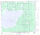
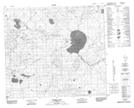
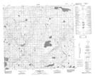
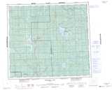
Maps showing Randall Lake, 81-7-W5, Alberta
Randall Lake is a Lake located in 81-7-W5, Alberta and has an elevation of 646 meters.
- Latitude: 55° 59' 21'' North (decimal: 55.9891667)
- Longitude: 115° 0' 32'' West (decimal: -115.0088888)
- Topography Feature Category: Lake
- Geographical Feature: Lake
- Canadian Province/Territory: Alberta
- Elevation: 646 meters
- Location: 81-7-W5
- Atlas of Canada Locator Map: Randall Lake
- GPS Coordinate Locator Map: Randall Lake Lat/Long
Randall Lake NTS Map Sheets