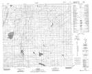
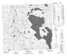
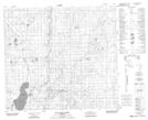
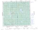
Maps showing Redearth Creek, 13-88-9-W5, Alberta
Redearth Creek is a River located in 13-88-9-W5, Alberta and has an elevation of 616 meters.
- Latitude: 56° 37' 38'' North (decimal: 56.6272222)
- Longitude: 115° 18' 16'' West (decimal: -115.3044443)
- Topography Feature Category: River
- Geographical Feature: Creek
- Canadian Province/Territory: Alberta
- Elevation: 616 meters
- Location: 13-88-9-W5
- Atlas of Canada Locator Map: Redearth Creek
- GPS Coordinate Locator Map: Redearth Creek Lat/Long
Redearth Creek NTS Map Sheets