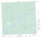
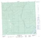
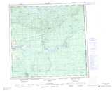
Maps showing Rennie Creek, 111-3-W5, Alberta
Rennie Creek is a River located in 111-3-W5, Alberta.
- Latitude: 58° 36' 30'' North (decimal: 58.6083333)
- Longitude: 114° 21' 40'' West (decimal: -114.3611111)
- Topography Feature Category: River
- Geographical Feature: Creek
- Canadian Province/Territory: Alberta
- Location: 111-3-W5
- Atlas of Canada Locator Map: Rennie Creek
- GPS Coordinate Locator Map: Rennie Creek Lat/Long
Rennie Creek NTS Map Sheets