Canada Topographic Maps

Ribstone Creek Topo Maps

Topography maps and Latitude/Longitude Location

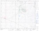
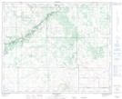
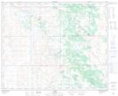
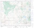
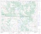
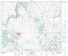
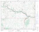
Maps showing Ribstone Creek, 9-45-1-W4, Alberta

Ribstone Creek is a River located in 9-45-1-W4, Alberta and has an elevation of 621 meters.

  • Latitude: 52° 51' 47'' North   (decimal: 52.8630555)
  • Longitude: 110° 5' 13'' West   (decimal: -110.0869444)
  • Topography Feature Category: River
  • Geographical Feature: Creek
  • Canadian Province/Territory: Alberta
  • Elevation: 621 meters
  • Location: 9-45-1-W4
  • Atlas of Canada Locator Map: Ribstone Creek
  • GPS Coordinate Locator Map: Ribstone Creek Lat/Long

Ribstone Creek NTS Map Sheets

073D03 Coronation Topographic Map at 1:50,000 scale

073D06 Brownfield Topographic Map at 1:50,000 scale

073D07 Czar Topographic Map at 1:50,000 scale

073D09 Chauvin Topographic Map at 1:50,000 scale

073D10 Hughenden Topographic Map at 1:50,000 scale

073D15 Wainwright Topographic Map at 1:50,000 scale

073D16 Mclaughlin Topographic Map at 1:50,000 scale

073D Wainwright Topographic Map at 1:250,000 scale

 
Buy Topographic Maps DVD
Newsletter Sign-up

Yes, I want to receive map store discounts.


Bookmark and Share