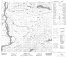
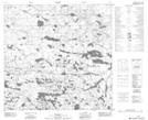
Maps showing Darwin Lake, 119-6,7-W4, Alberta
Darwin Lake is a Lake located in 119-6,7-W4, Alberta and has an elevation of 234 meters.
- Latitude: 59° 18' 29'' North (decimal: 59.3080555)
- Longitude: 111° 1' 33'' West (decimal: -111.0258333)
- Topography Feature Category: Lake
- Geographical Feature: Lake
- Canadian Province/Territory: Alberta
- Elevation: 234 meters
- Location: 119-6,7-W4
- Atlas of Canada Locator Map: Darwin Lake
- GPS Coordinate Locator Map: Darwin Lake Lat/Long
Darwin Lake NTS Map Sheets