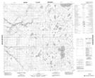
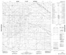
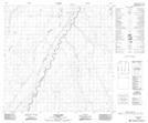
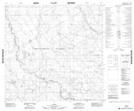
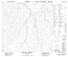
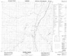
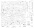
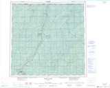
Maps showing Dizzy Creek, 122-19-W5, Alberta
Dizzy Creek is a River located in 122-19-W5, Alberta and has an elevation of 335 meters.
- Latitude: 59° 37' 2'' North (decimal: 59.6172221)
- Longitude: 117° 9' 3'' West (decimal: -117.1508332)
- Topography Feature Category: River
- Geographical Feature: Creek
- Canadian Province/Territory: Alberta
- Elevation: 335 meters
- Location: 122-19-W5
- Atlas of Canada Locator Map: Dizzy Creek
- GPS Coordinate Locator Map: Dizzy Creek Lat/Long
Dizzy Creek NTS Map Sheets
084N01 No Title Topographic Map at 1:50,000 scale
084N02 No Title Topographic Map at 1:50,000 scale
084N06 Lutose Creek Topographic Map at 1:50,000 scale
084N07 No Title Topographic Map at 1:50,000 scale
084N10 Perry Creek Topographic Map at 1:50,000 scale
084N11 Steen River Topographic Map at 1:50,000 scale
084O04 No Title Topographic Map at 1:50,000 scale
084N Steen River Topographic Map at 1:250,000 scale
084O Whitesand River Topographic Map at 1:250,000 scale