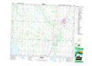
Maps showing Ferrybank, 36-43-27-W4, Alberta
Ferrybank is a Unincorporated area located in 36-43-27-W4, Alberta.
- Latitude: 52° 45' North (decimal: 52.7500000)
- Longitude: 113° 47' West (decimal: -113.7832999)
- Topography Feature Category: Unincorporated area
- Geographical Feature: Locality
- Canadian Province/Territory: Alberta
- Location: 36-43-27-W4
- GPS Coordinate Locator Map: Ferrybank Lat/Long