Canada Topographic Maps

Firebag River Topo Maps

Topography maps and Latitude/Longitude Location

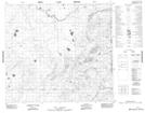
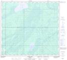
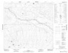
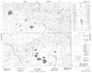
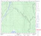
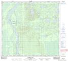
Maps showing Firebag River, 101-9-W4, Alberta

Firebag River is a River located in 101-9-W4, Alberta and has an elevation of 235 meters.

  • Latitude: 57° 45' 6'' North   (decimal: 57.7516666)
  • Longitude: 111° 21' 12'' West   (decimal: -111.3533333)
  • Topography Feature Category: River
  • Geographical Feature: River
  • Canadian Province/Territory: Alberta
  • Elevation: 235 meters
  • Location: 101-9-W4
  • Atlas of Canada Locator Map: Firebag River
  • GPS Coordinate Locator Map: Firebag River Lat/Long

Firebag River NTS Map Sheets

074E01 No Title Topographic Map at 1:50,000 scale

074E06 Kearl Lake Topographic Map at 1:50,000 scale

074E07 No Title Topographic Map at 1:50,000 scale

074E08 Trout Creek Topographic Map at 1:50,000 scale

074E11 Firebag River Topographic Map at 1:50,000 scale

074E14 Pearson Lake Topographic Map at 1:50,000 scale

074E Bitumount Topographic Map at 1:250,000 scale

 
Buy Topographic Maps DVD
Newsletter Sign-up

Yes, I want to receive map store discounts.


Bookmark and Share