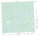
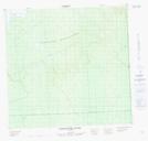
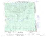
Maps showing Fitz Creek, 111-1-W5, Alberta
Fitz Creek is a River located in 111-1-W5, Alberta.
- Latitude: 58° 41' 00'' North (decimal: 58.6833333)
- Longitude: 114° 3' 41'' West (decimal: -114.0613889)
- Topography Feature Category: River
- Geographical Feature: Creek
- Canadian Province/Territory: Alberta
- Location: 111-1-W5
- Atlas of Canada Locator Map: Fitz Creek
- GPS Coordinate Locator Map: Fitz Creek Lat/Long
Fitz Creek NTS Map Sheets