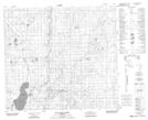
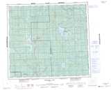
Maps showing Loon Lake, 17-87-9-W5, Alberta
Loon Lake is a Unincorporated area located in 17-87-9-W5, Alberta and has an elevation of 517 meters.
- Latitude: 56° 32' 20'' North (decimal: 56.5388888)
- Longitude: 115° 23' 38'' West (decimal: -115.3938889)
- Topography Feature Category: Unincorporated area
- Geographical Feature: Hamlet
- Canadian Province/Territory: Alberta
- Elevation: 517 meters
- Location: 17-87-9-W5
- Atlas of Canada Locator Map: Loon Lake
- GPS Coordinate Locator Map: Loon Lake Lat/Long
Loon Lake NTS Map Sheets