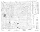
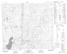
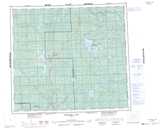
Maps showing Loon Lake, 86,87-9,10-W5, Alberta
Loon Lake is a Lake located in 86,87-9,10-W5, Alberta and has an elevation of 516 meters.
- Latitude: 56° 31' 46'' North (decimal: 56.5294444)
- Longitude: 115° 25' 57'' West (decimal: -115.4324999)
- Topography Feature Category: Lake
- Geographical Feature: Lake
- Canadian Province/Territory: Alberta
- Elevation: 516 meters
- Location: 86,87-9,10-W5
- Atlas of Canada Locator Map: Loon Lake
- GPS Coordinate Locator Map: Loon Lake Lat/Long
Loon Lake NTS Map Sheets