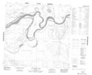
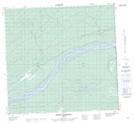
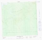
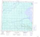
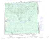
Maps showing Pakwanutik River, 112-24-W4, Alberta
Pakwanutik River is a River located in 112-24-W4, Alberta and has an elevation of 243 meters.
- Latitude: 58° 41' 54'' North (decimal: 58.6983333)
- Longitude: 113° 54' 13'' West (decimal: -113.9036110)
- Topography Feature Category: River
- Geographical Feature: River
- Canadian Province/Territory: Alberta
- Elevation: 243 meters
- Location: 112-24-W4
- Atlas of Canada Locator Map: Pakwanutik River
- GPS Coordinate Locator Map: Pakwanutik River Lat/Long
Pakwanutik River NTS Map Sheets