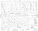
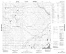
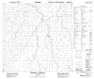
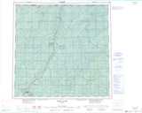
Maps showing Perry Creek, 128-16-W5, Alberta
Perry Creek is a River located in 128-16-W5, Alberta.
- Latitude: 59° 41' North (decimal: 59.6833333)
- Longitude: 116° 43' West (decimal: -116.7166667)
- Topography Feature Category: River
- Geographical Feature: Creek
- Canadian Province/Territory: Alberta
- Location: 128-16-W5
- Atlas of Canada Locator Map: Perry Creek
- GPS Coordinate Locator Map: Perry Creek Lat/Long
Perry Creek NTS Map Sheets