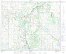
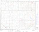
Maps showing Flagstaff Hill, 41-11,12-W4, Alberta
Flagstaff Hill is a Mountain located in 41-11,12-W4, Alberta and has an elevation of 778 meters.
- Latitude: 52° 32' 2'' North (decimal: 52.5338888)
- Longitude: 111° 32' 17'' West (decimal: -111.5380556)
- Topography Feature Category: Mountain
- Geographical Feature: Hill
- Canadian Province/Territory: Alberta
- Elevation: 778 meters
- Location: 41-11,12-W4
- Atlas of Canada Locator Map: Flagstaff Hill
- GPS Coordinate Locator Map: Flagstaff Hill Lat/Long
Flagstaff Hill NTS Map Sheets