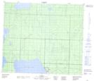
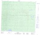
Maps showing Rock Island Lake, 75-22,23-W4, Alberta
Rock Island Lake is a Lake located in 75-22,23-W4, Alberta and has an elevation of 641 meters.
- Latitude: 55° 30' North (decimal: 55.5000000)
- Longitude: 113° 23' West (decimal: -113.3833332)
- Topography Feature Category: Lake
- Geographical Feature: Lake
- Canadian Province/Territory: Alberta
- Elevation: 641 meters
- Location: 75-22,23-W4
- Atlas of Canada Locator Map: Rock Island Lake
- GPS Coordinate Locator Map: Rock Island Lake Lat/Long
Rock Island Lake NTS Map Sheets