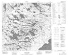
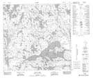
Maps showing Roderick Lake, 121-1,2-W4, Alberta
Roderick Lake is a Lake located in 121-1,2-W4, Alberta and has an elevation of 303 meters.
- Latitude: 59° 29' 53'' North (decimal: 59.4980555)
- Longitude: 110° 9' 11'' West (decimal: -110.1530555)
- Topography Feature Category: Lake
- Geographical Feature: Lake
- Canadian Province/Territory: Alberta
- Elevation: 303 meters
- Location: 121-1,2-W4
- Atlas of Canada Locator Map: Roderick Lake
- GPS Coordinate Locator Map: Roderick Lake Lat/Long
Roderick Lake NTS Map Sheets