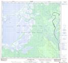
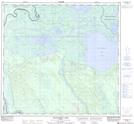
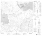
Maps showing Embarras River, 109,110-8,9-W4, Alberta
Embarras River is a River located in 109,110-8,9-W4, Alberta and has an elevation of 227 meters.
- Latitude: 58° 41' 15'' North (decimal: 58.6874999)
- Longitude: 111° 2' 23'' West (decimal: -111.0397222)
- Topography Feature Category: River
- Geographical Feature: River
- Canadian Province/Territory: Alberta
- Elevation: 227 meters
- Location: 109,110-8,9-W4
- Atlas of Canada Locator Map: Embarras River
- GPS Coordinate Locator Map: Embarras River Lat/Long
Embarras River NTS Map Sheets