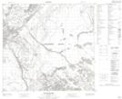
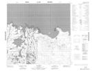
Maps showing Big Point Channel, 109,110-5,6-W4, Alberta
Big Point Channel is a Channel located in 109,110-5,6-W4, Alberta and has an elevation of 235 meters.
- Latitude: 58° 34' 21'' North (decimal: 58.5724720)
- Longitude: 110° 47' 11'' West (decimal: -110.7862780)
- Topography Feature Category: Channel
- Geographical Feature: Channel
- Canadian Province/Territory: Alberta
- Elevation: 235 meters
- Location: 109,110-5,6-W4
- Atlas of Canada Locator Map: Big Point Channel
- GPS Coordinate Locator Map: Big Point Channel Lat/Long
Big Point Channel NTS Map Sheets