Maps showing Birch River, 110-14-W4, Alberta
Birch River is a River located in 110-14-W4, Alberta and has an elevation of 212 meters.
- Latitude: 58° 34' 48'' North (decimal: 58.5799999)
- Longitude: 112° 16' 57'' West (decimal: -112.2824999)
- Topography Feature Category: River
- Geographical Feature: River
- Canadian Province/Territory: Alberta
- Elevation: 212 meters
- Location: 110-14-W4
- Atlas of Canada Locator Map: Birch River
- GPS Coordinate Locator Map: Birch River Lat/Long
Birch River NTS Map Sheets
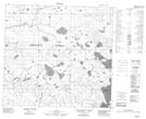
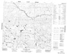
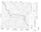
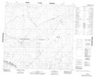
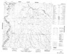
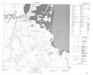
084H10 No Title Topographic Map at 1:50,000 scale
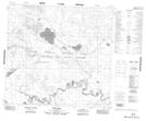
084H11 Bergeron Creek Topographic Map at 1:50,000 scale
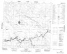
084H13 Raymond Creek Topographic Map at 1:50,000 scale
084H14 No Title Topographic Map at 1:50,000 scale
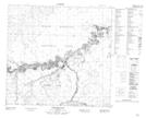
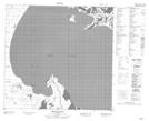
084I04 Edra Creek Topographic Map at 1:50,000 scale
084I05 Ruis Lake Topographic Map at 1:50,000 scale
084I06 Lake Dene Topographic Map at 1:50,000 scale
084I07 Heron Island Topographic Map at 1:50,000 scale
084I08 Pointe De Roche Topographic Map at 1:50,000 scale
084I09 Spruce Point Topographic Map at 1:50,000 scale
084J01 Harper Creek Topographic Map at 1:50,000 scale
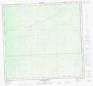
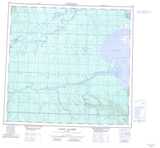
084H Namur Lake Topographic Map at 1:250,000 scale
084I Lake Claire Topographic Map at 1:250,000 scale
084J John D'Or Prairie Topographic Map at 1:250,000 scale