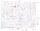
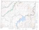
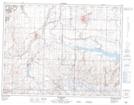
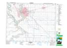
Maps showing St. Mary River, 8-22-W4, Alberta
St. Mary River is a River located in 8-22-W4, Alberta and has an elevation of 968 meters.
- Latitude: 49° 37' 37'' North (decimal: 49.6269444)
- Longitude: 112° 53' 13'' West (decimal: -112.8869443)
- Topography Feature Category: River
- Geographical Feature: River
- Canadian Province/Territory: Alberta
- Elevation: 968 meters
- Location: 8-22-W4
- Atlas of Canada Locator Map: St. Mary River
- GPS Coordinate Locator Map: St. Mary River Lat/Long
St. Mary River NTS Map Sheets