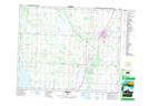
Maps showing Glenhewitt, 33-42-28-W4, Alberta
Glenhewitt is a Unincorporated area located in 33-42-28-W4, Alberta.
- Latitude: 52° 40' North (decimal: 52.6666999)
- Longitude: 113° 58' West (decimal: -113.9667000)
- Topography Feature Category: Unincorporated area
- Geographical Feature: Locality
- Canadian Province/Territory: Alberta
- Location: 33-42-28-W4
- GPS Coordinate Locator Map: Glenhewitt Lat/Long