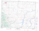
Maps showing Glenwoodville, Alberta
Glenwoodville is a Unincorporated area located in Alberta.
- Latitude: 49° 22' North (decimal: 49.3667000)
- Longitude: 113° 31' West (decimal: -113.5166999)
- Topography Feature Category: Unincorporated area
- Geographical Feature: Hamlet
- Canadian Province/Territory: Alberta
- GPS Coordinate Locator Map: Glenwoodville Lat/Long
Glenwoodville NTS Map Sheets