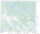
Maps showing Goose Lake, 33-64-11-W4, Alberta
Goose Lake is a Unincorporated area located in 33-64-11-W4, Alberta.
- Latitude: 54° 34' 21'' North (decimal: 54.5725000)
- Longitude: 111° 34' 15'' West (decimal: -111.5708333)
- Topography Feature Category: Unincorporated area
- Geographical Feature: Post Office
- Canadian Province/Territory: Alberta
- Location: 33-64-11-W4
- GPS Coordinate Locator Map: Goose Lake Lat/Long
Goose Lake NTS Map Sheets