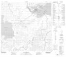
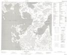
Maps showing Mamawi Lake, 110,111-9-W4, Alberta
Mamawi Lake is a Lake located in 110,111-9-W4, Alberta and has an elevation of 223 meters.
- Latitude: 58° 35' 55'' North (decimal: 58.5986110)
- Longitude: 111° 29' 3'' West (decimal: -111.4841666)
- Topography Feature Category: Lake
- Geographical Feature: Lake
- Canadian Province/Territory: Alberta
- Elevation: 223 meters
- Location: 110,111-9-W4
- Atlas of Canada Locator Map: Mamawi Lake
- GPS Coordinate Locator Map: Mamawi Lake Lat/Long
Mamawi Lake NTS Map Sheets