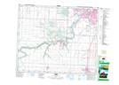
Maps showing Blue Quill, Alberta
Blue Quill is a Unincorporated area located in Alberta and has an elevation of 675 meters.
- Latitude: 53° 28' North (decimal: 53.4666666)
- Longitude: 113° 32' West (decimal: -113.5333332)
- Topography Feature Category: Unincorporated area
- Geographical Feature: Urban Community
- Canadian Province/Territory: Alberta
- Elevation: 675 meters
- Atlas of Canada Locator Map: Blue Quill
- GPS Coordinate Locator Map: Blue Quill Lat/Long