Canada Topographic Maps

Bolton Creek Topo Maps

Topography maps and Latitude/Longitude Location

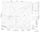
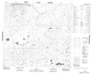
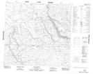
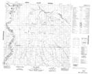
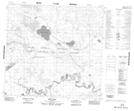
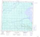
Maps showing Bolton Creek, 107-23-W4, Alberta

Bolton Creek is a River located in 107-23-W4, Alberta and has an elevation of 395 meters.

  • Latitude: 58° 16' 46'' North   (decimal: 58.2794444)
  • Longitude: 113° 45' 36'' West   (decimal: -113.7599999)
  • Topography Feature Category: River
  • Geographical Feature: Creek
  • Canadian Province/Territory: Alberta
  • Elevation: 395 meters
  • Location: 107-23-W4
  • Atlas of Canada Locator Map: Bolton Creek
  • GPS Coordinate Locator Map: Bolton Creek Lat/Long

Bolton Creek NTS Map Sheets

084H14 No Title Topographic Map at 1:50,000 scale

084H15 No Title Topographic Map at 1:50,000 scale

084I03 Peel Creek Topographic Map at 1:50,000 scale

084I04 Edra Creek Topographic Map at 1:50,000 scale

084I05 Ruis Lake Topographic Map at 1:50,000 scale

084H Namur Lake Topographic Map at 1:250,000 scale

084I Lake Claire Topographic Map at 1:250,000 scale

 
Buy Topographic Maps DVD
Newsletter Sign-up

Yes, I want to receive map store discounts.


Bookmark and Share