Canada Topographic Maps

Saulteaux River Topo Maps

Topography maps and Latitude/Longitude Location

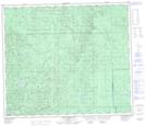
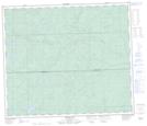
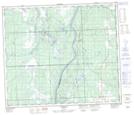
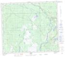
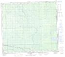
Maps showing Saulteaux River, 25-72-3-W5, Alberta

Saulteaux River is a River located in 25-72-3-W5, Alberta and has an elevation of 601 meters.

  • Latitude: 55° 15' 56'' North   (decimal: 55.2654720)
  • Longitude: 114° 19' 50'' West   (decimal: -114.3305279)
  • Topography Feature Category: River
  • Geographical Feature: River
  • Canadian Province/Territory: Alberta
  • Elevation: 601 meters
  • Location: 25-72-3-W5
  • Atlas of Canada Locator Map: Saulteaux River
  • GPS Coordinate Locator Map: Saulteaux River Lat/Long

Saulteaux River NTS Map Sheets

083J14 Deer Mountain Topographic Map at 1:50,000 scale

083J15 Jessie Lake Topographic Map at 1:50,000 scale

083J16 Chisholm Topographic Map at 1:50,000 scale

083O01 Smith Topographic Map at 1:50,000 scale

083O08 Driftwood River Topographic Map at 1:50,000 scale

083J Whitecourt Topographic Map at 1:250,000 scale

083O Lesser Slave Lake Topographic Map at 1:250,000 scale

 
Buy Topographic Maps DVD
Newsletter Sign-up

Yes, I want to receive map store discounts.


Bookmark and Share