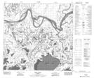
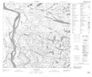
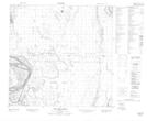
Maps showing Scow Channel, 115-9-10-W4, Alberta
Scow Channel is a Channel located in 115-9-10-W4, Alberta and has an elevation of 213 meters.
- Latitude: 59° 8' 21'' North (decimal: 59.1391667)
- Longitude: 111° 26' 28'' West (decimal: -111.4411111)
- Topography Feature Category: Channel
- Geographical Feature: Channel
- Canadian Province/Territory: Alberta
- Elevation: 213 meters
- Location: 115-9-10-W4
- Atlas of Canada Locator Map: Scow Channel
- GPS Coordinate Locator Map: Scow Channel Lat/Long
Scow Channel NTS Map Sheets