Canada Topographic Maps

Grave Flats Trail Topo Maps

Topography maps and Latitude/Longitude Location

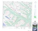
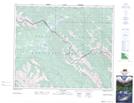
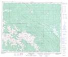
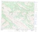
Maps showing Grave Flats Trail, Alberta

Grave Flats Trail is a Road feature located in Alberta.

  • Latitude: 53° 35' 20'' North   (decimal: 53.5888999)
  • Longitude: 118° 55' 25'' West   (decimal: -118.9235999)
  • Topography Feature Category: Road feature
  • Geographical Feature: Trail
  • Canadian Province/Territory: Alberta
  • GPS Coordinate Locator Map: Grave Flats Trail Lat/Long

Grave Flats Trail NTS Map Sheets

083E07 Blue Creek Topographic Map at 1:50,000 scale

083E08 Rock Lake Topographic Map at 1:50,000 scale

083E09 Moberly Creek Topographic Map at 1:50,000 scale

083E10 Adams Lookout Topographic Map at 1:50,000 scale

083E11 Hardscrabble Creek Topographic Map at 1:50,000 scale

083E14 Grande Cache Topographic Map at 1:50,000 scale

083E15 Pierre Greys Lakes Topographic Map at 1:50,000 scale

083E Mount Robson Topographic Map at 1:250,000 scale

 
Buy Topographic Maps DVD
Newsletter Sign-up

Yes, I want to receive map store discounts.


Bookmark and Share