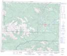
Maps showing Gustavs Flats Trail, 57-9-W5, Alberta
Gustavs Flats Trail is a Road feature located in 57-9-W5, Alberta.
- Latitude: 53° 57' North (decimal: 53.9499999)
- Longitude: 119° 15' West (decimal: -119.2499999)
- Topography Feature Category: Road feature
- Geographical Feature: Trail
- Canadian Province/Territory: Alberta
- Location: 57-9-W5
- GPS Coordinate Locator Map: Gustavs Flats Trail Lat/Long
Gustavs Flats Trail NTS Map Sheets