Canada Topographic Maps

Maybelle River Topo Maps

Topography maps and Latitude/Longitude Location

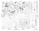
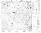
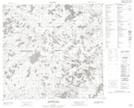
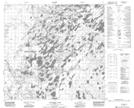
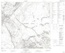
Maps showing Maybelle River, 108-6-W4, Alberta

Maybelle River is a River located in 108-6-W4, Alberta and has an elevation of 304 meters.

  • Latitude: 58° 23' 42'' North   (decimal: 58.3949999)
  • Longitude: 110° 58' 54'' West   (decimal: -110.9816667)
  • Topography Feature Category: River
  • Geographical Feature: River
  • Canadian Province/Territory: Alberta
  • Elevation: 304 meters
  • Location: 108-6-W4
  • Atlas of Canada Locator Map: Maybelle River
  • GPS Coordinate Locator Map: Maybelle River Lat/Long

Maybelle River NTS Map Sheets

074E15 No Title Topographic Map at 1:50,000 scale

074E16 Robert Creek Topographic Map at 1:50,000 scale

074L01 Archer Lake Topographic Map at 1:50,000 scale

074L02 Larocque Lake Topographic Map at 1:50,000 scale

074L07 Keane Creek Topographic Map at 1:50,000 scale

074E Bitumount Topographic Map at 1:250,000 scale

074L Fort Chipewyan Topographic Map at 1:250,000 scale

 
Buy Topographic Maps DVD
Newsletter Sign-up

Yes, I want to receive map store discounts.


Bookmark and Share