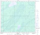
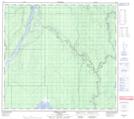
Maps showing McClelland Lake, 97,98-8,9-W4, Alberta
McClelland Lake is a Lake located in 97,98-8,9-W4, Alberta and has an elevation of 299 meters.
- Latitude: 57° 29' 28'' North (decimal: 57.4911111)
- Longitude: 111° 19' 52'' West (decimal: -111.3311111)
- Topography Feature Category: Lake
- Geographical Feature: Lake
- Canadian Province/Territory: Alberta
- Elevation: 299 meters
- Location: 97,98-8,9-W4
- Atlas of Canada Locator Map: McClelland Lake
- GPS Coordinate Locator Map: McClelland Lake Lat/Long
McClelland Lake NTS Map Sheets