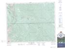
Maps showing McCue Creek, 31-9-W5, Alberta
McCue Creek is a River located in 31-9-W5, Alberta.
- Latitude: 51° 38' 56'' North (decimal: 51.6488889)
- Longitude: 115° 13' 34'' West (decimal: -115.2261111)
- Topography Feature Category: River
- Geographical Feature: Creek
- Canadian Province/Territory: Alberta
- Location: 31-9-W5
- Atlas of Canada Locator Map: McCue Creek
- GPS Coordinate Locator Map: McCue Creek Lat/Long
McCue Creek NTS Map Sheets