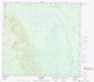
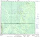
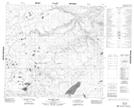
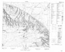
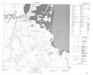
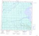
Maps showing McIvor River, 107-13-W4, Alberta
McIvor River is a River located in 107-13-W4, Alberta and has an elevation of 213 meters.
- Latitude: 58° 19' 15'' North (decimal: 58.3208332)
- Longitude: 112° 2' 19'' West (decimal: -112.0386111)
- Topography Feature Category: River
- Geographical Feature: River
- Canadian Province/Territory: Alberta
- Elevation: 213 meters
- Location: 107-13-W4
- Atlas of Canada Locator Map: McIvor River
- GPS Coordinate Locator Map: McIvor River Lat/Long
McIvor River NTS Map Sheets
074E13 Ronald Lake Topographic Map at 1:50,000 scale
074L04 Buckton Creek Topographic Map at 1:50,000 scale
084H16 Bayard Lake Topographic Map at 1:50,000 scale
084I01 Clayton Lake Topographic Map at 1:50,000 scale
084I08 Pointe De Roche Topographic Map at 1:50,000 scale
074E Bitumount Topographic Map at 1:250,000 scale
074L Fort Chipewyan Topographic Map at 1:250,000 scale
084H Namur Lake Topographic Map at 1:250,000 scale
084I Lake Claire Topographic Map at 1:250,000 scale