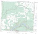
Maps showing British Lake, 84-9-W6, Alberta
British Lake is a Lake located in 84-9-W6, Alberta.
- Latitude: 56° 19' North (decimal: 56.3166999)
- Longitude: 119° 24' West (decimal: -119.4000000)
- Topography Feature Category: Lake
- Geographical Feature: Lake
- Canadian Province/Territory: Alberta
- Location: 84-9-W6
- GPS Coordinate Locator Map: British Lake Lat/Long
British Lake NTS Map Sheets