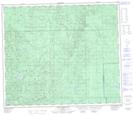
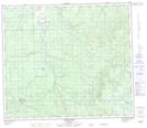
Maps showing Sloan Creek, 69-10-W5, Alberta
Sloan Creek is a River located in 69-10-W5, Alberta and has an elevation of 808 meters.
- Latitude: 55° 1' 43'' North (decimal: 55.0286110)
- Longitude: 115° 27' 3'' West (decimal: -115.4508332)
- Topography Feature Category: River
- Geographical Feature: Creek
- Canadian Province/Territory: Alberta
- Elevation: 808 meters
- Location: 69-10-W5
- Atlas of Canada Locator Map: Sloan Creek
- GPS Coordinate Locator Map: Sloan Creek Lat/Long
Sloan Creek NTS Map Sheets