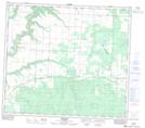
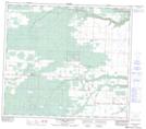
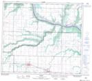
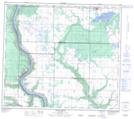
Maps showing Hamelin Creek, 16-81-6-W6, Alberta
Hamelin Creek is a River located in 16-81-6-W6, Alberta and has an elevation of 708 meters.
- Latitude: 56° 1' 43'' North (decimal: 56.0286110)
- Longitude: 118° 52' 38'' West (decimal: -118.8772222)
- Topography Feature Category: River
- Geographical Feature: Creek
- Canadian Province/Territory: Alberta
- Elevation: 708 meters
- Location: 16-81-6-W6
- Atlas of Canada Locator Map: Hamelin Creek
- GPS Coordinate Locator Map: Hamelin Creek Lat/Long
Hamelin Creek NTS Map Sheets
083M13 Bonanza Topographic Map at 1:50,000 scale
083M14 Blueberry Mountain Topographic Map at 1:50,000 scale
083M15 Rycroft Topographic Map at 1:50,000 scale
084D02 Hines Creek Topographic Map at 1:50,000 scale
083M Grande Prairie Topographic Map at 1:250,000 scale
084D Clear Hills Topographic Map at 1:250,000 scale
083M14 Blueberry Mountain Topographic Map at 1:50,000 scale
083M15 Rycroft Topographic Map at 1:50,000 scale
084D02 Hines Creek Topographic Map at 1:50,000 scale
083M Grande Prairie Topographic Map at 1:250,000 scale
084D Clear Hills Topographic Map at 1:250,000 scale