Maps showing Harper Creek, 106-24-W4, Alberta
Harper Creek is a River located in 106-24-W4, Alberta and has an elevation of 241 meters.
- Latitude: 58° 14' 17'' North (decimal: 58.2380555)
- Longitude: 113° 56' 48'' West (decimal: -113.9466667)
- Topography Feature Category: River
- Geographical Feature: Creek
- Canadian Province/Territory: Alberta
- Elevation: 241 meters
- Location: 106-24-W4
- Atlas of Canada Locator Map: Harper Creek
- GPS Coordinate Locator Map: Harper Creek Lat/Long
Harper Creek NTS Map Sheets
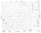
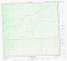
084G15 No Title Topographic Map at 1:50,000 scale
084G16 No Title Topographic Map at 1:50,000 scale
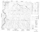
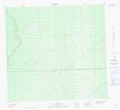
084I04 Edra Creek Topographic Map at 1:50,000 scale
084I05 Ruis Lake Topographic Map at 1:50,000 scale
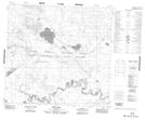
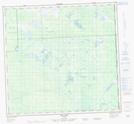
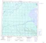
084J01 Harper Creek Topographic Map at 1:50,000 scale
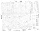
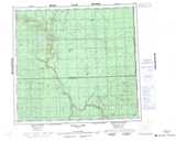
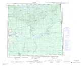
084J02 No Title Topographic Map at 1:50,000 scale
084J08 Fox Lake Topographic Map at 1:50,000 scale
084G Wadlin Lake Topographic Map at 1:250,000 scale
084I Lake Claire Topographic Map at 1:250,000 scale
084J John D'Or Prairie Topographic Map at 1:250,000 scale