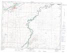
Maps showing Mekastoe, 9-26-W4, Alberta
Mekastoe is a Unincorporated area located in 9-26-W4, Alberta.
- Latitude: 49° 43' North (decimal: 49.7167000)
- Longitude: 113° 28' West (decimal: -113.4666999)
- Topography Feature Category: Unincorporated area
- Geographical Feature: Station
- Canadian Province/Territory: Alberta
- Location: 9-26-W4
- GPS Coordinate Locator Map: Mekastoe Lat/Long
Mekastoe NTS Map Sheets