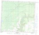
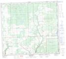
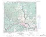
Maps showing Little Clear River, 86-10-W6, Alberta
Little Clear River is a River located in 86-10-W6, Alberta and has an elevation of 814 meters.
- Latitude: 56° 28' 58'' North (decimal: 56.4827778)
- Longitude: 119° 32' 56'' West (decimal: -119.5488889)
- Topography Feature Category: River
- Geographical Feature: River
- Canadian Province/Territory: Alberta
- Elevation: 814 meters
- Location: 86-10-W6
- Atlas of Canada Locator Map: Little Clear River
- GPS Coordinate Locator Map: Little Clear River Lat/Long
Little Clear River NTS Map Sheets