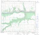
Maps showing Rahab, 78-1-W6, Alberta
Rahab is a Unincorporated area located in 78-1-W6, Alberta.
- Latitude: 55° 46' North (decimal: 55.7667000)
- Longitude: 118° 4' West (decimal: -118.0666999)
- Topography Feature Category: Unincorporated area
- Geographical Feature: Station
- Canadian Province/Territory: Alberta
- Location: 78-1-W6
- GPS Coordinate Locator Map: Rahab Lat/Long
Rahab NTS Map Sheets