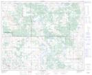
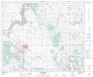
Maps showing Cattalo Trail, 36-43-7-W4, Alberta
Cattalo Trail is a Road feature located in 36-43-7-W4, Alberta.
- Latitude: 52° 45' 5'' North (decimal: 52.7513888)
- Longitude: 110° 53' 45'' West (decimal: -110.8958332)
- Topography Feature Category: Road feature
- Geographical Feature: Road
- Canadian Province/Territory: Alberta
- Location: 36-43-7-W4
- Atlas of Canada Locator Map: Cattalo Trail
- GPS Coordinate Locator Map: Cattalo Trail Lat/Long
Cattalo Trail NTS Map Sheets