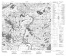
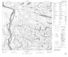
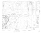
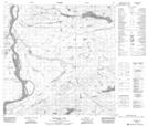
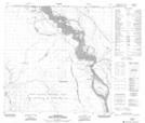
Maps showing Slave River, 11-126-W4, Alberta
Slave River is a River located in 11-126-W4, Alberta and has an elevation of 175 meters.
- Latitude: 59° 60' 00'' North (decimal: 59.9999999)
- Longitude: 111° 48' 56'' West (decimal: -111.8155556)
- Topography Feature Category: River
- Geographical Feature: River
- Canadian Province/Territory: Alberta
- Elevation: 175 meters
- Location: 11-126-W4
- Atlas of Canada Locator Map: Slave River
- GPS Coordinate Locator Map: Slave River Lat/Long
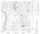
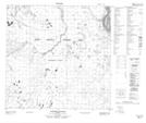
Slave River NTS Map Sheets
074L14 Riviere Des Rochers Topographic Map at 1:50,000 scale
074M03 Ryan Lake Topographic Map at 1:50,000 scale
074M04 Peltier Creek Topographic Map at 1:50,000 scale
074M05 Darough Lake Topographic Map at 1:50,000 scale
074M06 Bocquene Lake Topographic Map at 1:50,000 scale
074M11 Hay Camp Topographic Map at 1:50,000 scale
074M12 Caribou Islands Topographic Map at 1:50,000 scale
074M13 Fitzgerald Topographic Map at 1:50,000 scale
074L Fort Chipewyan Topographic Map at 1:250,000 scale
074M Fitzgerald Topographic Map at 1:250,000 scale