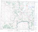
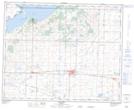
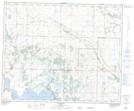
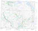
Maps showing Buffalo Lake, 40,41-20,21-W4, Alberta
Buffalo Lake is a Lake located in 40,41-20,21-W4, Alberta and has an elevation of 781 meters.
- Latitude: 52° 29' 33'' North (decimal: 52.4924999)
- Longitude: 112° 54' 56'' West (decimal: -112.9155556)
- Topography Feature Category: Lake
- Geographical Feature: Lake
- Canadian Province/Territory: Alberta
- Elevation: 781 meters
- Location: 40,41-20,21-W4
- Atlas of Canada Locator Map: Buffalo Lake
- GPS Coordinate Locator Map: Buffalo Lake Lat/Long
Buffalo Lake NTS Map Sheets