Canada Topographic Maps

Burnt River Topo Maps

Topography maps and Latitude/Longitude Location

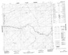
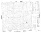
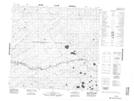
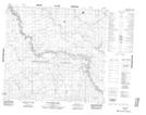
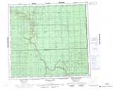
Maps showing Burnt River, 100-4-W5, Alberta

Burnt River is a River located in 100-4-W5, Alberta.

  • Latitude: 57° 41' 54'' North   (decimal: 57.6983333)
  • Longitude: 114° 29' 27'' West   (decimal: -114.4908333)
  • Topography Feature Category: River
  • Geographical Feature: River
  • Canadian Province/Territory: Alberta
  • Location: 100-4-W5
  • Atlas of Canada Locator Map: Burnt River
  • GPS Coordinate Locator Map: Burnt River Lat/Long

Burnt River NTS Map Sheets

084G09 No Title Topographic Map at 1:50,000 scale

084G16 No Title Topographic Map at 1:50,000 scale

084H12 No Title Topographic Map at 1:50,000 scale

084H13 Raymond Creek Topographic Map at 1:50,000 scale

084G Wadlin Lake Topographic Map at 1:250,000 scale

084H Namur Lake Topographic Map at 1:250,000 scale

 
Buy Topographic Maps DVD
Newsletter Sign-up

Yes, I want to receive map store discounts.


Bookmark and Share