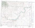
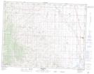
Maps showing Hollis Coulee, 20-9-29-W4, Alberta
Hollis Coulee is a Valley located in 20-9-29-W4, Alberta and has an elevation of 1392 meters.
- Latitude: 49° 45' 12'' North (decimal: 49.7533333)
- Longitude: 113° 54' 22'' West (decimal: -113.9061110)
- Topography Feature Category: Valley
- Geographical Feature: Coulee
- Canadian Province/Territory: Alberta
- Elevation: 1392 meters
- Location: 20-9-29-W4
- Atlas of Canada Locator Map: Hollis Coulee
- GPS Coordinate Locator Map: Hollis Coulee Lat/Long
Hollis Coulee NTS Map Sheets