Canada Topographic Maps

Monitor Creek Topo Maps

Topography maps and Latitude/Longitude Location

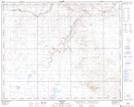
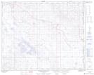
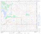
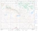
Maps showing Monitor Creek, 35-4-W4, Alberta

Monitor Creek is a River located in 35-4-W4, Alberta and has an elevation of 668 meters.

  • Latitude: 51° 59' 50'' North   (decimal: 51.9972221)
  • Longitude: 110° 27' 53'' West   (decimal: -110.4647222)
  • Topography Feature Category: River
  • Geographical Feature: Creek
  • Canadian Province/Territory: Alberta
  • Elevation: 668 meters
  • Location: 35-4-W4
  • Atlas of Canada Locator Map: Monitor Creek
  • GPS Coordinate Locator Map: Monitor Creek Lat/Long

Monitor Creek NTS Map Sheets

072M15 Monitor Topographic Map at 1:50,000 scale

072M16 Grassy Island Lake Topographic Map at 1:50,000 scale

073D01 Bodo Topographic Map at 1:50,000 scale

073D02 Neutral Hills Topographic Map at 1:50,000 scale

072M Oyen Topographic Map at 1:250,000 scale

073D Wainwright Topographic Map at 1:250,000 scale

 
Buy Topographic Maps DVD
Newsletter Sign-up

Yes, I want to receive map store discounts.


Bookmark and Share