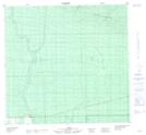
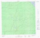
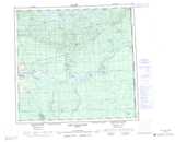
Maps showing Caribou River, 109-12-W5, Alberta
Caribou River is a River located in 109-12-W5, Alberta and has an elevation of 263 meters.
- Latitude: 58° 27' 46'' North (decimal: 58.4627778)
- Longitude: 115° 51' 5'' West (decimal: -115.8513889)
- Topography Feature Category: River
- Geographical Feature: River
- Canadian Province/Territory: Alberta
- Elevation: 263 meters
- Location: 109-12-W5
- Atlas of Canada Locator Map: Caribou River
- GPS Coordinate Locator Map: Caribou River Lat/Long
Caribou River NTS Map Sheets