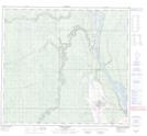
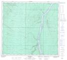
Maps showing Ings Island, 95-11-W4, Alberta
Ings Island is a Island located in 95-11-W4, Alberta and has an elevation of 236 meters.
- Latitude: 57° 14' 36'' North (decimal: 57.2433333)
- Longitude: 111° 38' 6'' West (decimal: -111.6350000)
- Topography Feature Category: Island
- Geographical Feature: Island
- Canadian Province/Territory: Alberta
- Elevation: 236 meters
- Location: 95-11-W4
- Atlas of Canada Locator Map: Ings Island
- GPS Coordinate Locator Map: Ings Island Lat/Long
Ings Island NTS Map Sheets