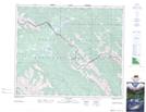
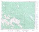
Maps showing Moosehorn Trail, Alberta
Moosehorn Trail is a Road feature located in Alberta and has an elevation of 1354 meters.
- Latitude: 53° 26' 25'' North (decimal: 53.4402999)
- Longitude: 118° 8' 00'' West (decimal: -118.1332999)
- Topography Feature Category: Road feature
- Geographical Feature: Trail
- Canadian Province/Territory: Alberta
- Elevation: 1354 meters
- Atlas of Canada Locator Map: Moosehorn Trail
- GPS Coordinate Locator Map: Moosehorn Trail Lat/Long
Moosehorn Trail NTS Map Sheets